Two storms in two weeks: El Niño has taken down Hawaii’s hurricane force field

Daftar Isi
Hawaii Faces Back-to-Back Tropical Threats as El Niño Strips Away Its Natural Storm Shield
Healfromzero.com – Hawaii’s residents are being asked to brace for another round of torrential rain and punishing winds barely seven days after a hurricane battered the islands. Tropical Storm Moke, packing maximum sustained winds of 45 mph, sat roughly 545 miles southeast of Hilo on the Big Island as of 5 a.m. ET, tracking west-northwest at 8 mph. Forecasters expect the system to hold at tropical-storm strength and to steer its center well south of the island chain, yet its proximity is sufficient to deliver sustained downpours and damaging gusts to communities still clearing debris and repairing roads from last week’s catastrophe.
The Aftermath Still Lingers
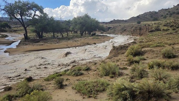
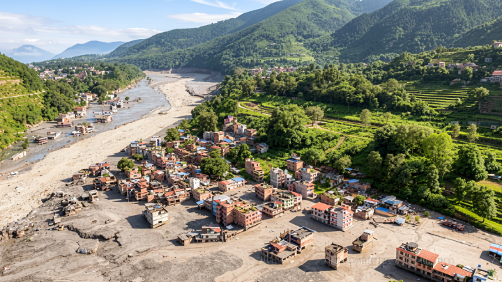
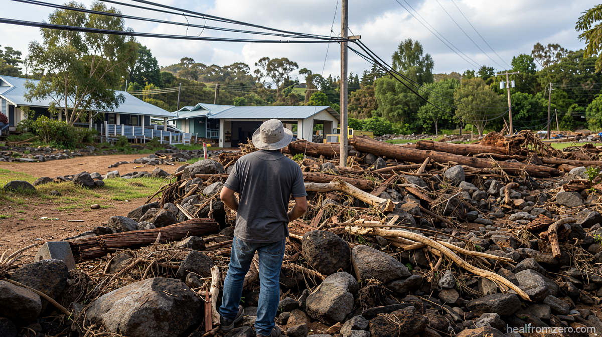
The previous storm, Hurricane Lala, intensified while looping just south of the Big Island and unleashed more than three feet of rainfall on the windward slopes. The deluge triggered destructive landslides, flash flooding that severed access roads to small towns, widespread home destruction, and damage to critical infrastructure. At least one death has been attributed to the event. For an island chain that rarely experiences direct tropical impacts, the scale of disruption was staggering, and residents were already in fragile recovery when Moke appeared on the radar.
Why the Shield Has Failed
In most years, Hawaii enjoys what meteorologists describe as a natural hurricane force field. Cooler Pacific waters and strong upper-level wind shear conspire to weaken any tropical system that drifts west or northwest toward the islands. Storms draw their energy from warm ocean surfaces and thrive when surrounding upper-level winds are gentle; the cooler water and hostile shear encountered near Hawaii typically sap their strength before they arrive.
The developing Super El Niño episode is dismantling both of those protective mechanisms. Sea-surface temperatures east and southeast of the Hawaiian archipelago — the very corridor where Pacific tropical cyclones form and begin their westward approach — are running well above seasonal norms. Waters directly south of the islands are also warming dramatically. With the thermal fuel supply elevated and the shear environment altered, storms that would have dissipated in a neutral year can now maintain or even intensify their strength while closing on the islands.
A Landfall Streak That Nearly Broke
Hurricane Lala came close enough to threaten a direct landfall on the Big Island, but its center ultimately tracked just offshore of the southern tip. That narrow margin preserved a remarkable statistical record: Hawaii has logged zero hurricane landfalls since Category 4 Hurricane Iniki struck Kauai from the southwest in 1992. More than three decades without a direct hurricane hit is an extraordinary run, and Lala’s near miss underscored how thin the margin can become when El Niño conditions prevail.
Crucially, as Lala demonstrated, a storm need not touch down to inflict severe damage. The outer rainbands and wind field extending hundreds of miles from the center were more than enough to produce catastrophic flooding and slope failures across the island’s interior.
Frequency Shifts and the Atlantic Contrast
El Niño also tilts the odds in the Eastern and Central Tropical Pacific, spawning a higher number of tropical cyclones in the basin where Hawaii sits. More storms in the neighborhood means a greater probability that at least one will track within striking distance of the islands. The effect is essentially inverted in the Atlantic, where El Niño strengthens upper-level westerlies that shred developing systems before they can organize — a factor that has kept the Atlantic basin unusually quiet for weeks this season.
Forecaster Perspective: An Unusual Two-Week Window
Matthew Rosencrans, the lead hurricane season forecaster at the National Weather Service, noted that even during intense El Niño seasons, it remains uncommon for a tropical cyclone to pass within 300 nautical miles of the Hawaiian Islands. The typical annual average for such close approaches is roughly one storm per season.
“Very bizarre,” Rosencrans described the two-week span in which two separate systems have threatened the islands back to back. He attributed the clustering to a temporary alignment of atmospheric steering currents that happened to channel storms directly toward Hawaii’s latitude.
With Moke’s passage, Hawaii will have experienced twice its typical annual frequency of close tropical-cyclone approaches in a single season. Rosencrans added that a third such event is probable before the season ends, though he cautioned that the steering patterns responsible for this unusual alignment could shift quickly, potentially granting the islands a reprieve in the weeks ahead.
What Residents Should Understand
The broader implication is that El Niño does not guarantee stronger storms at every location; rather, it raises the probability of certain linked outcomes — more storms forming in the Pacific basin, warmer waters sustaining them longer, and altered steering patterns that occasionally aim them at vulnerable targets. For Hawaii, that means a season in which the historical rarity of tropical impacts becomes statistically less rare, and in which the infrastructure, drainage systems, and emergency-response capacity built around decades of relative calm are tested far more often than planners anticipated. Communities that cleared landslide debris and reopened roads after Lala now face the prospect of repeating that work within days, a compounding stress that local officials and residents are navigating with limited margin for error.
Related Reading
Frequently Asked Questions
What is Two storms in two weeks?
Two storms in two weeks is the main topic of this guide. The article explains the context, practical details, and next steps readers should understand.
Why does Two storms in two weeks matter?
Two storms in two weeks matters because readers are looking for a useful answer, not just a short summary. Good content should match search intent and help them decide what to do next.