
Tropical Depression Two forms in the Gulf, will bring heavy rain and coastal flooding
Tropical Depression Two Forms in Gulf: Heavy Rain and Coastal Flooding Expected
System Development and Trajectory
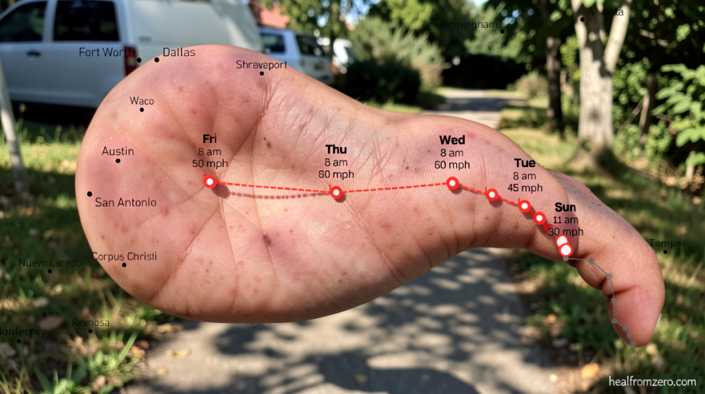
healfromzero.com – Tropical Depression Two forms in the Gulf of Mexico, creating conditions for significant weather impacts across multiple coastal regions. Meteorologists project this developing system will strengthen into Tropical Storm Bertha within the next day, potentially arriving tonight or by Monday morning. The depression currently sits in a position to deliver substantial rainfall and strong winds to communities along the northern and eastern Gulf Coast over the coming days.
Favorable atmospheric conditions have supported this system’s formation. Although the depression encounters pockets of dry air that may limit further intensification, wind shear remains relatively light. This combination indicates additional strengthening is possible as the storm moves toward Gulf Coast areas in Alabama, Mississippi, and Louisiana by midweek. Weak steering currents in the upper atmosphere are causing the system to drift slowly in a north-northwesterly direction over the next several days.
Coastal Impacts and Preparedness
Coastal residents should prepare for varied weather conditions as the system approaches. Widespread rainfall is anticipated, with most locations receiving between two and four inches of precipitation. The most intense thunderstorms within the system could generate isolated totals up to eight inches. These heavy rain bands will advance onshore as the depression nears, and the system’s center is expected to stay offshore, potentially extending rainfall duration in certain areas.
Storm surge represents another significant concern for coastal communities. Water levels along Florida’s Big Bend region, extending from Indian Pass to Chassahowitzka, could rise between one and three feet above normal levels.
Wind conditions are also expected to worsen. Tropical storm conditions are likely along the coastline, with wind gusts potentially exceeding forty miles per hour. The National Weather Service has issued a Tropical Storm Watch for the Florida Panhandle coastline, stretching from the Ochlockonee River westward to the Alabama state border. This watch indicates that tropical storm conditions are possible within the next thirty-six to forty-eight hours in these areas.
Research and Seasonal Outlook
Weather researchers are preparing to deploy a Hurricane Hunter aircraft into the developing system on Sunday. This specialized mission will gather critical data about the depression’s internal structure, including wind speeds, atmospheric pressure readings, and the broader weather environment surrounding the storm. This information will help forecasters refine their predictions and improve the accuracy of impact assessments for coastal communities.
The CNN Weather app provides residents with real-time updates and personalized forecasts as the situation evolves. Users can access detailed rainfall maps and track the system’s progression in real time through the application.
This developing system marks an important milestone in the current Atlantic hurricane season. More than a month has passed since the last named storm appeared in the Atlantic Ocean Basin. Tropical Storm Arthur formed in mid-June and made landfall just hours after its creation on the Texas coast near Galveston. The gap between Arthur and this new system highlights the variable nature of seasonal activity.
Looking at the broader picture, the National Oceanic and Atmospheric Administration has predicted a below-average number of named systems for the Atlantic this season. This forecast is largely driven by the formation and strengthening of El Niño, a climate pattern that typically suppresses tropical cyclone development by increasing wind shear and creating more stable atmospheric conditions. Despite these inhibiting factors, the current system demonstrates that tropical activity can still emerge when conditions align favorably.
As the depression continues its slow north-northwesterly track, meteorologists will closely monitor its evolution. The next forty-eight hours will be crucial in determining whether the system achieves tropical storm status and what level of impacts coastal residents should expect. Communities from the Florida Panhandle through Louisiana should remain vigilant and stay informed through official weather channels as the situation develops.