
Historic West Virginia flooding prompts statewide emergency as severe storms sweep East
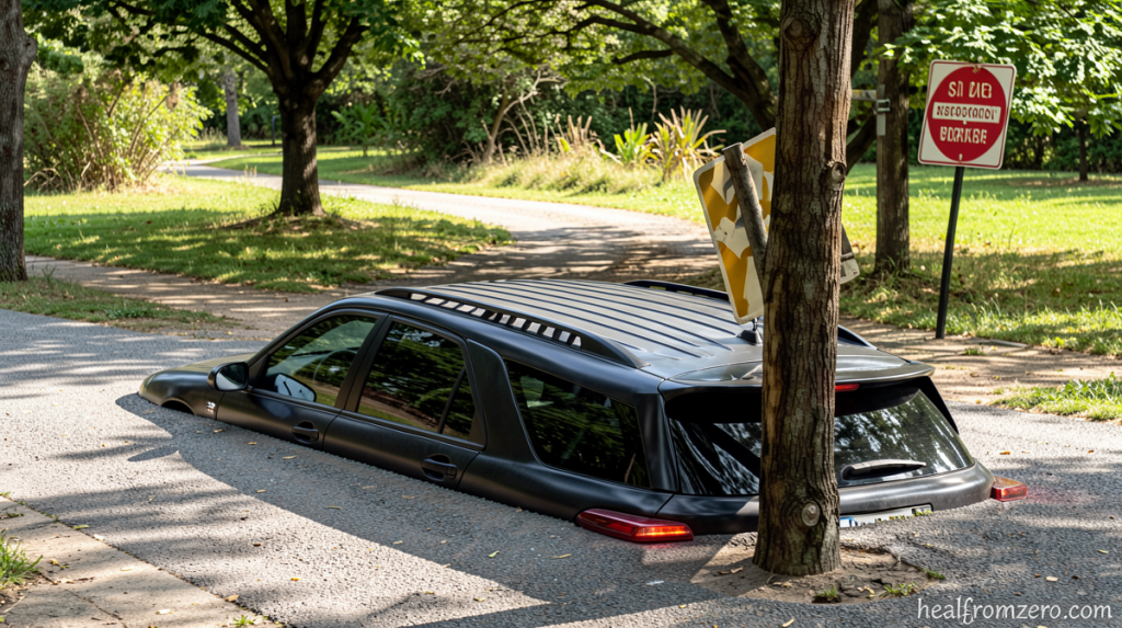
Historic West Virginia Flooding Prompts Emergency Declaration
Healfromzero.com – Historic West Virginia flooding prompted a statewide emergency Tuesday as severe thunderstorms swept through the Ohio Valley and Mid-Atlantic, bringing catastrophic rainfall, tornadoes, and damaging winds from Kentucky to New Jersey. The National Weather Service declared a “particularly dangerous situation” as swift water rescues and significant structure flooding were reported across multiple counties.
Record-Breaking Water Levels
The Sand Run stream gauge near Buckhannon crested above 10.6 feet Tuesday, shattering the previous record of 8.3 feet set during the devastating 1985 flood. This marks the first time in roughly 80 years of recordkeeping that the gauge has reached major flood stage. During the 1985 disaster, severe flooding in Upshur County killed 47 people and destroyed thousands of homes and hundreds of businesses.
Historic West Virginia flooding prompted Governor Patrick Morrisey to declare a state of emergency for all 55 counties Tuesday evening. The declaration allows state agencies to coordinate resources and deploy personnel and equipment as needed. The governor said the hardest-hit areas included Lewis, Pleasants and Upshur counties, where flooding and related damage have triggered ongoing emergency response efforts, including dozens of water rescues.
The West Virginia National Guard said about 300 Guard members are expected in the hardest-hit areas by Wednesday morning as it deploys swiftwater rescue teams, engineers and other resources to assist local emergency crews. Meanwhile, the West Virginia Emergency Management Division has opened a shelter at Lewis County High School for residents displaced by the flooding.
Storm System Spreads Damage
The same storm system responsible for the flooding also produced multiple tornadoes and widespread damaging winds farther north and east. Tornadoes were reported in Kentucky, Ohio and New Jersey Tuesday, including one in Clermont County, Ohio. Denise Davis, who lives in Clermont County, told CNN affiliate WKRC that she brought her grandchildren to the basement as soon as she heard the tornado warning.
“The winds picked up, the lights were flickering and then I heard a real loud bang, which of course was the tree falling onto the house,” Davis said. Two tornadoes were also observed in northern New Jersey after supercell thunderstorms marched over the area. As of Tuesday evening, about 110,000 people in the storm-affected areas were without power, according to Poweroutage.us.
Flash flood warnings were issued for New York City Tuesday afternoon, but were lifted later in the evening. The Big Apple’s sewer infrastructure is old and limited: Built over a century ago, the system is built to handle only about 1.75 inches of rainfall per hour. When the system backs up under pressure of large amounts of rainfall in short periods of time, it results in flooded streets in low lying areas, homes and subway stations.
The frontal system that wreaked havoc Tuesday will linger across the Mid-Atlantic Wednesday into Thursday. These stalled storms will feed off of ample tropical moisture streaming in from Tropical Storm Bertha in the Gulf, raising the risk of repeated rounds of heavy rain, particularly near the Virginia/North Carolina border.
A Level 3 of 4 risk of flooding rain is in place for a section of the Virginia/North Carolina border. A Level 2 of 4 risk covers much of the Mid-Atlantic and Appalachian region. The highest risk areas could see up to 5 inches of rain, with greater amounts possible in localized areas where storms stall.
A more widespread area will receive between 2 and 4 inches Wednesday. Some of these areas have had a lot of rain in recent weeks, leaving the ground saturated. These areas may be quicker to flood and it may take less rain than normal to cause significant flooding.
This story has been updated with additional information. CNN’s Gloria Pazmino, Julianna Bragg and Danya Gainor contributed to this report.