Rash of tornadoes tears through the Midwest, killing at least 2
Rash of Tornadoes Tears Through the Midwest, Killing At Least 2
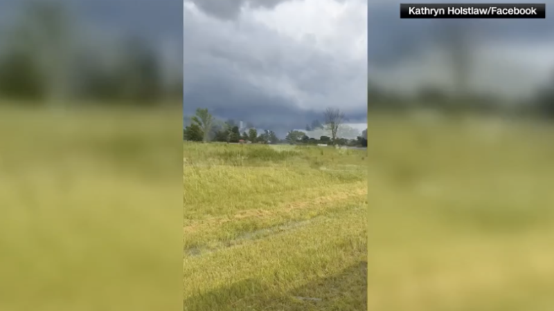
Rash of tornadoes tears through the Midwest – A series of tornadoes have struck the Midwest on Sunday evening, leaving a trail of destruction across multiple states. The Storm Prediction Center has recorded over 30 tornado reports as a group of supercell thunderstorms moved eastward toward the Ohio Valley. This follows a significant storm event just four days prior, which also resulted in fatalities and extensive damage throughout the region. The cumulative impact of these storms has raised concerns about the resilience of communities and the increasing frequency of severe weather events.
Two Fatalities in Jefferson County, Illinois
In rural Jefferson County, Illinois, two lives were lost during the latest tornado outbreak. The victims were found in separate mobile homes that were completely destroyed, approximately two to three miles apart, according to Sheriff Jeff Bullard. “The storms were incredibly powerful,” Bullard said, adding that a third home was also reduced to rubble. Five additional individuals were hospitalized with non-life-threatening injuries, while at least 20 homes in the county were damaged. The aftermath includes downed trees and power lines, leaving some residents without electricity for the night.
“At least two people were killed Sunday in rural Jefferson County,” Bullard said. “Both victims died in separate mobile homes that were destroyed about two to three miles apart.”
The same system that brought devastation to Illinois also wreaked havoc in southern Indiana, where several homes were described as “completely obliterated.” Gibson County Sheriff Bruce Vanoven reported that the storm swept through multiple communities before shifting eastward. “There were no reported injuries as of Sunday evening,” Vanoven said, urging residents to remain cautious as crews worked to clear the debris. The danger persists, particularly after dark, when downed power lines and scattered wreckage become harder to spot.
Retirement Community Hit Hard in Warrick County
Neighbors of Jefferson County in Warrick County experienced their own crisis when a tornado tore through a retirement community. At Park Place Apartments, two roofs collapsed, trapping a woman who had to be rescued by emergency personnel. “The woman and two others suffered minor injuries but refused treatment at the scene,” said Sheriff Mike Wilder. The incident highlights the vulnerability of residential areas to sudden, intense weather events, even in regions not typically associated with high tornado activity.
Farther west, a line of severe thunderstorms raked through western Oklahoma just after midnight Monday. Wind gusts exceeded 80 mph, prompting the National Weather Service in Norman to issue a warning: “This is a life-threatening situation with tornado-like wind speeds.” The storms began along the remnants of earlier morning thunderstorms, which had left the atmosphere primed for further development. As heat and humidity returned during the afternoon, the conditions rapidly intensified, leading to the formation of rotating supercells capable of producing tornadoes, large hail, and damaging winds.
“Wind gusts topped 80 mph, and the National Weather Service in Norman warned, ‘This is a life threatening situation with tornado-like wind speeds.’”
The damage caused by Sunday’s storms has been compounded by the risk of flash flooding. A Level 3 out of 4 flood warning is in place for parts of the Central Plains, middle Mississippi Valley, and Ohio Valley, as heavy rain is expected to continue through Monday. The repeated rounds of severe weather over the past two weeks have already elevated water levels in streams, making the region more susceptible to rapid flooding. Residents are advised to monitor updates and prepare for potential water-related hazards.
Looking Ahead: Storm System Expands Its Reach
The same storm system that has been responsible for recent tornadoes is expected to move into the mid-Atlantic and Appalachian regions on Monday. This shift will bring a Level 2 out of 5 risk of severe thunderstorms, with damaging wind gusts as the primary concern. However, the possibility of tornadoes cannot be ruled out, as the atmospheric conditions continue to favor rotation and instability. The National Weather Service has been tracking the system closely, with forecasts indicating that its influence will persist for the next several days.
Weather experts note that the combination of heat, moisture, and wind shear has created a volatile environment for severe weather. The storms that developed Sunday were a result of the interaction between cold air masses and warm, humid fronts, a pattern that has been recurring in the central United States this summer. This dynamic has led to the formation of multiple supercell thunderstorms, which are capable of producing extreme weather phenomena. The recent outbreaks underscore the importance of early warning systems and community preparedness, especially in areas where tornadoes are not the norm.
While the immediate focus remains on the Midwest, the broader implications of these events have sparked discussions about climate change and its role in intensifying weather patterns. Some meteorologists suggest that rising temperatures and shifting atmospheric conditions may contribute to more frequent and severe storm systems in the future. “The past two weeks have shown how quickly things can escalate,” said a spokesperson from the National Weather Service. “We’re seeing a pattern that could be a harbinger of more extreme weather events ahead.”
Residents across the affected regions are still recovering from the latest round of tornadoes. In Jefferson County, local authorities have deployed emergency teams to assist with cleanup efforts and provide aid to displaced families. Meanwhile, in southern Indiana, efforts are underway to assess the full extent of the damage. The ongoing situation serves as a reminder of the destructive power of tornadoes and the need for continued vigilance in the face of unpredictable weather. As the storm system continues to evolve, more updates are expected to provide a clearer picture of the impact on the region.
The National Weather Service has also issued advisories for the coming days, emphasizing the potential for additional tornado activity in the southern and central United States. With the storm system’s movement, the threat of severe weather is likely to spread, affecting new areas as it transitions eastward. This developing story will be updated as more information becomes available, highlighting the challenges faced by communities and the resilience required to weather such events.
CNN’s Amanda Musa contributed to this report. The article is part of a growing body of coverage on the Midwest’s recent weather challenges, reflecting the increasing urgency to understand and prepare for the changing climate. As the region grapples with the aftermath of Sunday’s tornadoes, the focus remains on supporting those affected and preventing future tragedies through improved forecasting and disaster response strategies.