
‘Worst-case’ flood scenario underway in southern Texas where dozens have already been rescued
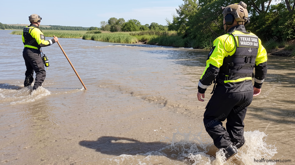
Worst-Case Flood Scenario Underway in Southern Texas
Worst case flood scenario underway in southern – A worst-case flood scenario is currently unfolding across southern Texas, where relentless storm systems have dumped up to 16 inches of rain on already saturated ground. The persistent deluge has prompted dozens of water rescues and left meteorologists warning that conditions could worsen significantly. With the Weather Prediction Center maintaining its highest alert level, residents in affected areas face the real possibility of catastrophic flooding in the coming days.
Record-Breaking Weather Alerts Issued
The National Weather Service reported that some communities may receive more than half of their annual rainfall by the end of the week. Wednesday marked the second consecutive day that the Weather Prediction Center issued its maximum-level flooding rain warning—the first time since April 2025 that such back-to-back alerts have been deployed.
The threatened region includes the Texas Hill Country, which suffered devastating flash flooding last July. That earlier tragedy killed more than 130 people, including 25 young girls and two camp counselors at Camp Mystic. Flash flood warnings were renewed Wednesday morning for Uvalde County and surrounding areas that had been heavily impacted previously.
Rescue Efforts and Official Declarations
Emergency crews had rescued at least 45 people from rising waters in Uvalde County alone by Tuesday evening. Additional operations continued across Medina County and neighboring territories. Texas Governor Greg Abbott declared a disaster covering 59 counties on Tuesday in response to the escalating situation.
Complicating rescue efforts, a tornado touched down near Interstate 10 northwest of San Antonio around 8 a.m. Central Time Wednesday. While CNN contacted Bexar County officials to assess structural damage, social media videos showed power flashes and debris swirling in the storm.
Why This Is a Worst-Case Scenario
The ground is already soaked so it will take less rain to trigger serious flooding with any rain more quickly turning to runoff instead of soaking into the ground.
Wednesday’s heightened danger stems from successive rounds of heavy, slow-moving precipitation falling on areas already drenched by 6 to 16 inches since Monday evening. The Weather Prediction Center describes this pattern—where storms repeatedly target identical regions—as a worst-case scenario. Because the earth remains thoroughly saturated, minimal additional rainfall can initiate severe flooding, with precipitation rapidly converting to surface runoff rather than penetrating the soil.
Through Wednesday night, the zones most vulnerable to perilous flash flooding closely mirror those overwhelmed on Tuesday. These include sections of the western Hill Country, the Edwards Plateau, and portions of the Rio Grande Valley adjacent to the United States-Mexico boundary. A Level 4 of 4 high-risk designation for flooding rainfall currently applies, with forecasts indicating an additional 10 to 20 inches of precipitation possible before the week concludes.
Regional Risk Assessment and Timeline
The WPC noted that considerable to locally catastrophic consequences remain possible along segments of the US 90 corridor west of San Antonio. Communities surrounding the primary high-risk zone operate under a very serious Level 3 of 4 flooding rainfall threat, while a Level 2 of 4 risk stretches eastward to Houston. Officials warned that roadways and urban centers will likely experience flooding, with some residences potentially becoming inundated. Waterways—including creeks, streams, and rivers—are expected to rise, with several surpassing flood stage thresholds.
On Thursday, the geographic area experiencing the greatest flash flood risk within Texas will contract somewhat but will still encompass several of the most severely affected locations. Communities ranging from Del Rio to Midland and San Angelo could encounter additional flooding conditions. By Friday, the drenching storms will begin diminishing substantially, though a reduced flood threat will persist primarily across the western portion of the state.
Climate Context and Meteorological Drivers
Such extreme rainfall occurrences are growing increasingly frequent as greenhouse gas emissions elevate global temperatures. Warmer atmospheric conditions retain greater moisture capacity, enabling storms to extract water like saturated sponges during intense, localized downpours. The Hill Country demonstrates particular vulnerability to these climate-driven weather patterns, making the current worst-case scenario both scientifically predictable and increasingly common in recent years.